Neptunis provides laser scanning services to provide point cloud scans to capture accurate site conditions. The scans are used to identify field conditions in order to update BIM models to as-built conditions on new build projects or for development of existing buildings which are to be retrospectively developed.
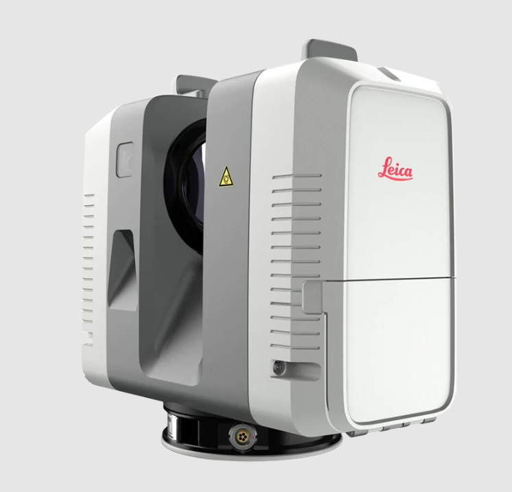
We use the Leica RTC360 scanner which gives an accuracy of 2 millimetres or less.
Our scanning services come at very competitive rates with our unique method of pricing and we are confident we can beat most quotes from our competitors.
We can combine our scanning services with our BIM outsourcing and/or our BIM management services for a total scan to BIM solution?
Our team are ready to mobilise on short notice to deploy our scanning services for any size of project.
Please contact us for a quote today.
info@neptunis.nl